Hiking & mountaineering
On foot
all tours
Where hiking starts right outside the front door
H
Hiking around Bruneck

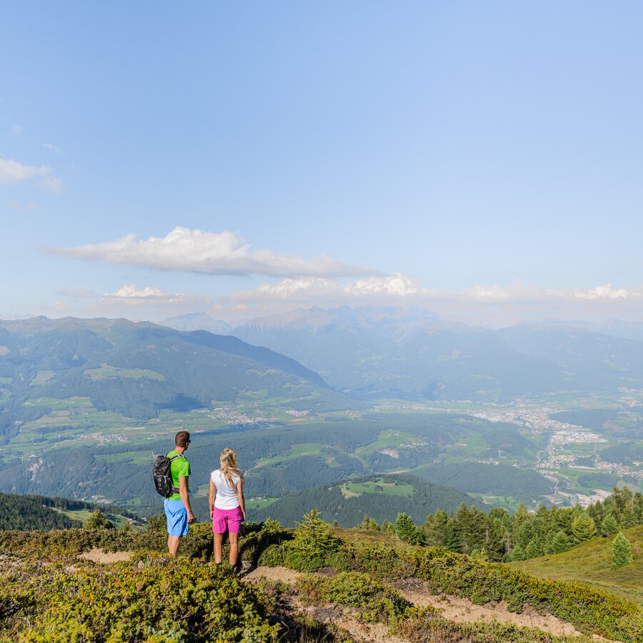
Right at the intersection of the splendid variety of mountains in the Kronplatz region lies its urban center: Bruneck. Where exactly does the city end? The transition to forest and meadows is a fluid one. Hikers stride through the city gates, and before they know it, the buildings have given way and they find themselves once again on one of the many strolling or hiking paths that surround Bruneck like a fine mesh. Many excursions can be begun right from the heart of the city and lead to the surrounding villages: Gais, Perca-Percha, S. Lorenzo-St. Lorenzen, or Falzes-Pfalzen. Along the edge of the path are fountains for drinking and dining establishments. Fresh water from bubbling springs cools down overheated hikers. Delicious dishes fill hungry mouths.
An adventure in nature for the little researchers, and churches and castles for those spirits hungry for knowledge are strewn throughout the countryside and villages.  
Anyone who expands their radius will find access to the heights with a full panorama view.  Bruneck’s own local mountain is His Majesty, the Kronplatz in person. Speedhikers can conquer the path to the summit in one and a half hours, while mere mortals may wish to add two hours to that. The 360 degree view of the entire mountain world of the Kronplatz region is worth the effort each and every time. 

Always toward the summit
M
Mountaineering around Bruneck

Those who love mountain climbing will at some point in their lives come to South Tyrol, because where else are the mountains more beautiful? The Pustertal valley forms the vertex between the main ridge of the Alps and the Dolomites, and the main city of Bruneck is the ideal starting point for a tour. Starting out radially from there, all courses for mountain tours can be followed, with just short trips by car or else with public transportation. Those who do not wish to travel all that far can get from Pfalzen directly to the famous Fundres-Pfunderer Mountain Trail, which can be managed over a total of six daily stages.
Towering above Gais are the majestic peaks of the Rieserferner chain. Peaks that are very popular and also easy to conquer for families are the Schönbichl, Sambock, Rammelstein, and Burgstall. And those who prefer to take it a little easier can head up from Reischach with the gondola to the peak of the Kronplatz, to be astonished there by the 360° mountain panorama.

Summer Active Map

Pick up your Active Map at your accommodation or at one of our information offices and explore the surroundings of Bruneck!

to the Summer Active Map
Tours
in Bruneck and surroundings
Harald Wisthaler | © Harald Wisthaler, Bruneck Kronplatz Tourismus
Intermediate
Add to favourites
Bruneck and surroundings
The story of stones
Distance 16,3 km
Duration 3 h 00 min
Ascent 422 m
Decent 422 m
autumn mood | © Tourismusverein Kiens, Kiens
Intermediate
Add to favourites
Bruneck and surroundings
To the Rodenecker - Lüsner mountain pastures
Distance 10,7 km
Duration 4 h 30 min
Ascent 720 m
Decent 720 m
Status
closed
Bruneck and surroundings
Legend Trail
Distance 3,7 km
Duration 1 h 01 min
Ascent 86 m
Decent 86 m
Honigbergweg | © Harald Wisthaler, Bruneck Kronplatz Tourismus
Intermediate
Add to favourites
Bruneck and surroundings
Collina del Miele/Honigbergweg
Distance 8,4 km
Duration 4 h 00 min
Ascent 422 m
Decent 422 m
Bruneck and surroundings
Art along the way - Panorama path
Distance 0,9 km
Duration 19 min
Ascent 68 m
Decent 5 m
Bruneck and surroundings
LandArt trail
Distance 2,3 km
Duration 1 h 00 min
Ascent 49 m
Decent 49 m
Bruneck and surroundings
The "Maurach" Trail (Element paths)
Distance 2,7 km
Duration 44 min
Ascent 60 m
Decent 60 m
Bruneck and surroundings
Four Churches Trail
Distance 6,6 km
Duration 1 h 53 min
Ascent 184 m
Decent 107 m
Gais-Uttenheim | © @BruneckKronplatzTurismus, Bruneck Kronplatz Tourismus
Intermediate
Add to favourites
Bruneck and surroundings
The Valley Floor Trail from Gais via Uttenheim to Mühlen (Element paths)
Distance 5,8 km
Duration 1 h 41 min
Ascent 190 m
Decent 184 m
  • 1