Uschi Trail

Bruneck and surroundings
Add to favourites
Difficulty
Intermediate
Duration
0:03
in hours
Distance
0.6
in km
Status
open
Categories
  • Mountainbiking
Tags
  • Linear route
  • Downhill
  • Singletrail/Free ride
Suggested period
Jan
Feb
Mar
Apr
May
Jun
Jul
Aug
Sep
Oct
Nov
Dec

What goes up comes back around

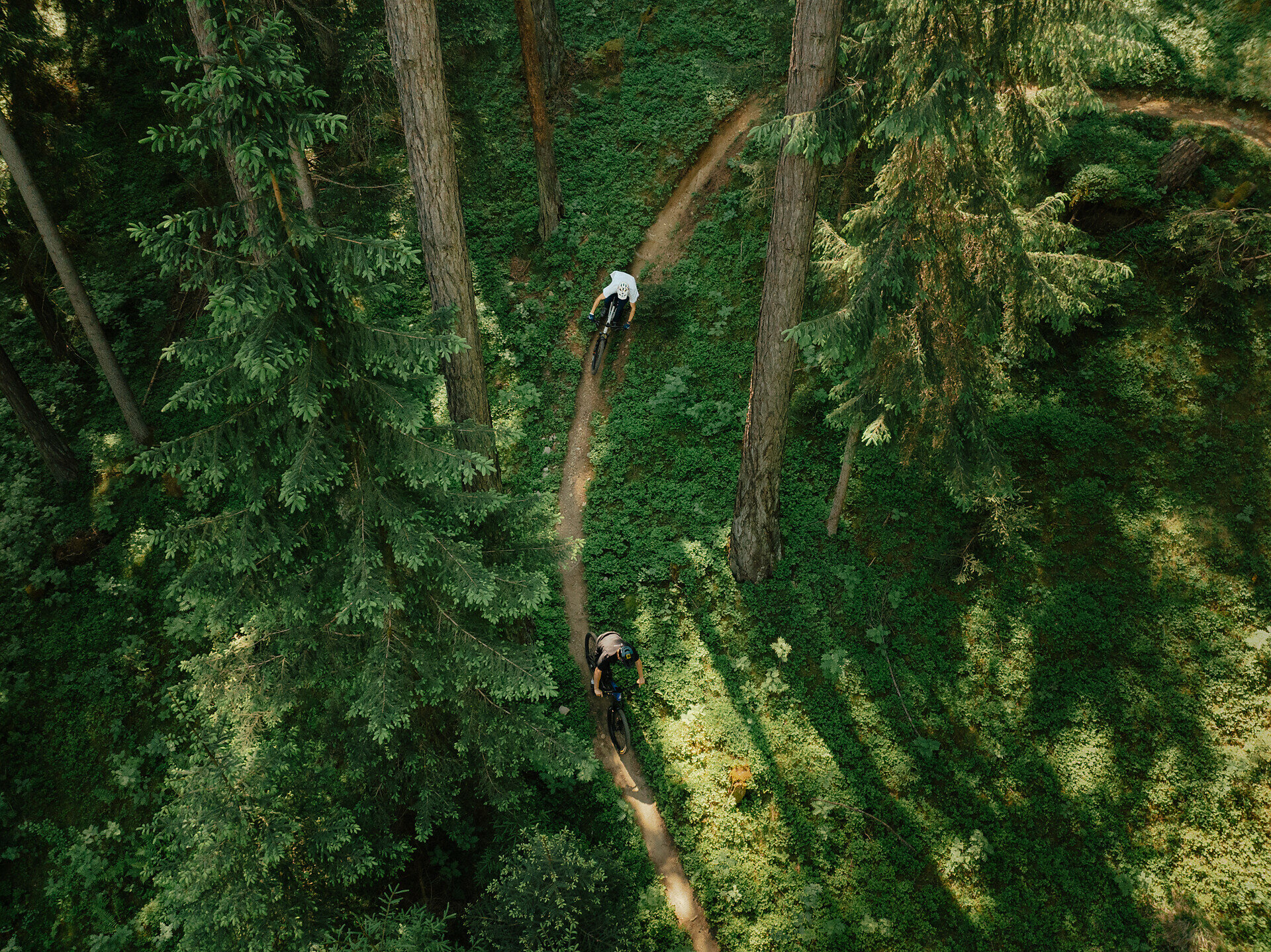
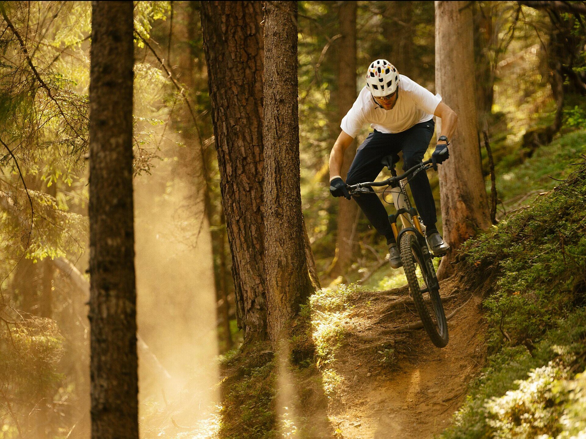
Uschi branches off the Richard-Anton trail and is brand-new: Hand-crafted in 2020, this trail through the woods is one to watch out for: It starts off with a climb to its highest point, after which it's bend after bend, roller after roller and some more tricky challenges that require creative solutions. Uschi briefly forks off Richard-Anton before merging back into it again just before it ends.

Length: 600 m

Difference in altitude: 81 m

Level: medium to difficult
Categories
  • Mountainbiking
Tags
  • Linear route
  • Downhill
  • Singletrail/Free ride
Route data
Intermediate
Distance
0,6 km
Duration
03 min
Ascent
6 m
Decent
95 m
Physical condition
Scenary
Highest point
1.089 m
Lowest point
998 m
You might be interested in
Discover related tours
Bruneck and surroundings
MTB Tour Plattner Alm
Distance 11,0 km
Duration 2 h 35 min
Ascent 945 m
Decent 0 m
Status
open
Bruneck and surroundings
Franz Trail
Distance 1,0 km
Duration 05 min
Ascent 6 m
Decent 199 m
Status
open
Richard-Anton Trail | © Bruneck Kronplatz Tourismus
Intermediate
Add to favourites
Bruneck and surroundings
Richard-Anton-Trail
Distance 1,1 km
Duration 07 min
Ascent 15 m
Decent 113 m
Status
open
Herrnsteig Trail | © Bruneck Kronplatz Tourismus
Intermediate
Add to favourites
Bruneck and surroundings
Herrnsteig Trail
Distance 7,4 km
Duration 30 min
Ascent 0 m
Decent 1.280 m
Status
open
Bruneck and surroundings
Andreas Trail
Distance 0,9 km
Duration 06 min
Ascent 2 m
Decent 184 m
Status
open
Bike | © Bruneck Kronplatz Tourismus
Intermediate
Add to favourites
Bruneck and surroundings
MTB Tour through the Wielental to Haidacher Alm
Distance 5,4 km
Duration 1 h 19 min
Ascent 461 m
Decent 0 m
Status
open