Top

Four Churches Trail - variant bus stop Hofern

Bruneck and surroundings
Add to favourites
Difficulty
Easy
Duration
2:24
in hours
Distance
8.7
in km
Status
open
Categories
  • Theme trail
Tags
  • Linear route
Suggested period
Jan
Feb
Mar
Apr
May
Jun
Jul
Aug
Sep
Oct
Nov
Dec

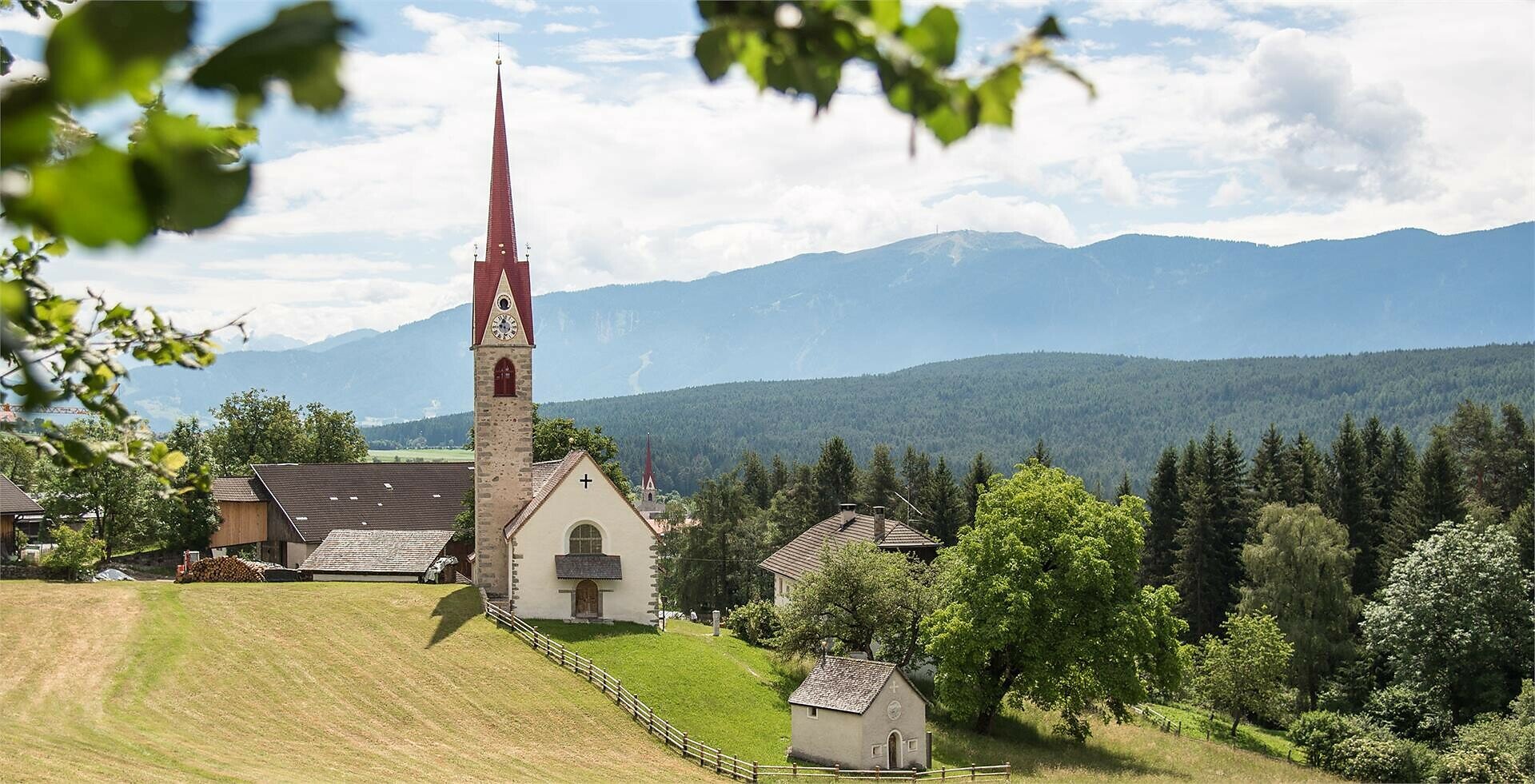
The Four Churches Trail leads through the diverse natural and cultural landscape of the Pustertal plateau of the central mountain range.

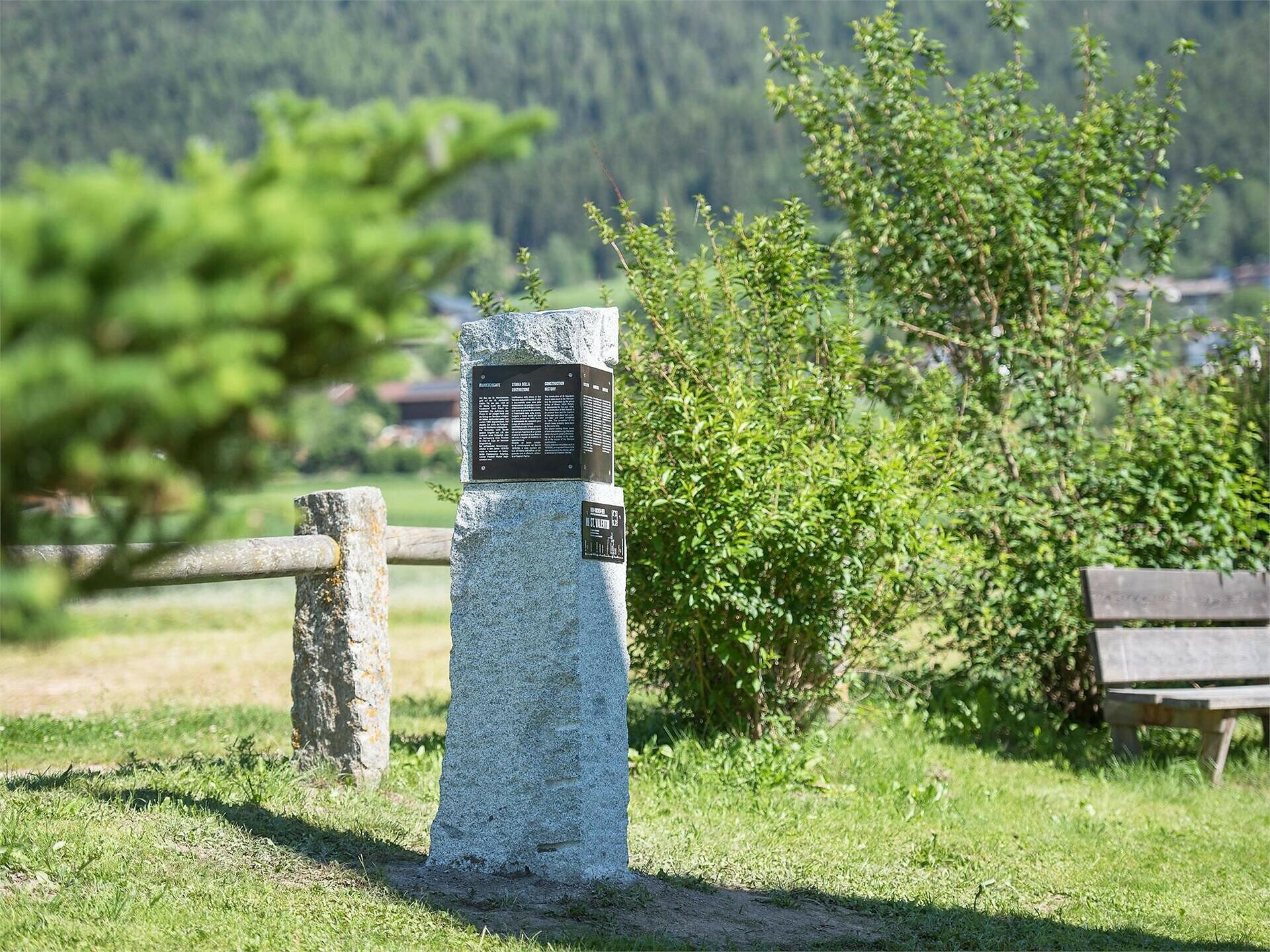
The Four Churches Trail leads through the diverse natural and cultural landscape of the Pustertal plateau of the central mountain range. The churches of St. Valentin in Greinwalden/Grimaldo, St. Cyriak in Pfalzen/Falzes, St. Nikolaus in Issing/Issengo and St. Johannes in Haselried represent special signposts. These places of energy also offer spiritual impulses for the way ahead.
Gallery
Categories
  • Theme trail
Tags
  • Linear route
Route data
Easy
Distance
8,7 km
Duration
2 h 24 min
Ascent
233 m
Decent
200 m
Physical condition
Scenary
Highest point
1.051 m
Lowest point
913 m
Suggestions

It is possible and worthwhile to walk individual sections of the Four Churches Trail. St. Valentine's Church and St. John the Baptist Church are closed. St. Valentine's can be visited on request.

You might be interested in
Discover related tours
Bruneck and surroundings
Art along the way - Moarberger pond
Distance 0,8 km
Duration 15 min
Ascent 12 m
Decent 14 m
Status
open
Gais | © Bruneck Kronplatz Tourismus
Intermediate
Add to favourites
Bruneck and surroundings
Via "Mitterberg" to "Einsberg" (Element paths)
Distance 2,6 km
Duration 45 min
Ascent 106 m
Decent 95 m
Status
open
Bruneck and surroundings
Four Churches Trail - variant Sichelburg castle
Distance 7,8 km
Duration 2 h 05 min
Ascent 207 m
Decent 146 m
Status
open
Bruneck and surroundings
The "Maurach" Trail (Element paths)
Distance 3,0 km
Duration 55 min
Ascent 82 m
Decent 76 m
Status
open
Bruneck and surroundings
Four Churches Trail
Distance 6,6 km
Duration 1 h 53 min
Ascent 184 m
Decent 107 m
Status
open
Bruneck and surroundings
Legend Trail
Distance 4,5 km
Duration 1 h 15 min
Ascent 106 m
Decent 106 m
Status
open