Top

The Valley Floor Trail from Gais via Uttenheim to Mühlen (Element paths)

Bruneck and surroundings
Add to favourites
Difficulty
Intermediate
Duration
1:45
in hours
Distance
5.9
in km
Status
open
WSEN
Categories
  • Hiking trail
Tags
  • Dog-friendly
  • Linear route
  • Family-friendly
  • Cultural/historical interest
Suggested period
Jan
Feb
Mar
Apr
May
Jun
Jul
Aug
Sep
Oct
Nov
Dec

The Valley Floor Trail links Gais with Uttenheim and offers a varied walk through woods, meadows and cultivated countryside.

Earth, water, air and fire – these four elements accompany nature lovers and walkers along seven themed trails in Gais, including the Valley Floor Trail between that leads towards Uttenheim and Mühlen in Taufers. Along the way, information boards explain how earth, water, air and fire have always had a profound influence on people, nature and the cultural landscape, and invite everyone – young and old alike – to pause and appreciate the impact of the four elements on local life as a lasting experience.
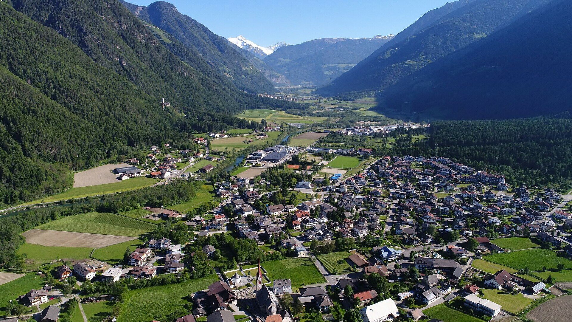

Gallery
Categories
  • Hiking trail
Tags
  • Dog-friendly
  • Linear route
  • Family-friendly
  • Cultural/historical interest
Route data
Intermediate
Distance
5,9 km
Duration
1 h 45 min
Ascent
150 m
Decent
132 m
Physical condition
Scenary
Highest point
928 m
Lowest point
831 m
Suggestions

The Valley Floor Trail can be combined in direction south with the "Maurach" Trail and in direction east with the trail that goes to "Einsberg" via "Mitterberg".

You might be interested in
Discover related tours
Gais | © Bruneck Kronplatz Tourismus
Intermediate
Add to favourites
Bruneck and surroundings
Gais - Castle Kehlburg - Amaten - Gais
Distance 8,3 km
Duration 2 h 55 min
Ascent 455 m
Decent 455 m
Status
open
Dolomites | © Skirama Kronplatz, Bruneck Kronplatz Tourismus
Intermediate
Add to favourites
Bruneck and surroundings
Plan de Corones > Pracken > Malga Oberegger > Casola
Distance 8,3 km
Duration 3 h 30 min
Ascent 0 m
Decent 1.119 m
Status
closed
Bruneck and surroundings
Art along the way - Moarberger pond
Distance 0,8 km
Duration 15 min
Ascent 12 m
Decent 14 m
Status
open
Honey Hill Trail | © Bruneck Kronplatz Tourismus
Intermediate
Add to favourites
Bruneck and surroundings
Collina del Miele/Honigbergweg
Distance 8,8 km
Duration 4 h 00 min
Ascent 314 m
Decent 314 m
Status
open
Bruneck and surroundings
Archaeological Panoramic Trail
Distance 4,1 km
Duration 1 h 45 min
Ascent 173 m
Decent 173 m
Status
open
Bruneck and surroundings
Hiking tour to the Walder Alp Hut
Distance 1,7 km
Duration 1 h 05 min
Ascent 356 m
Decent 5 m
Status
open