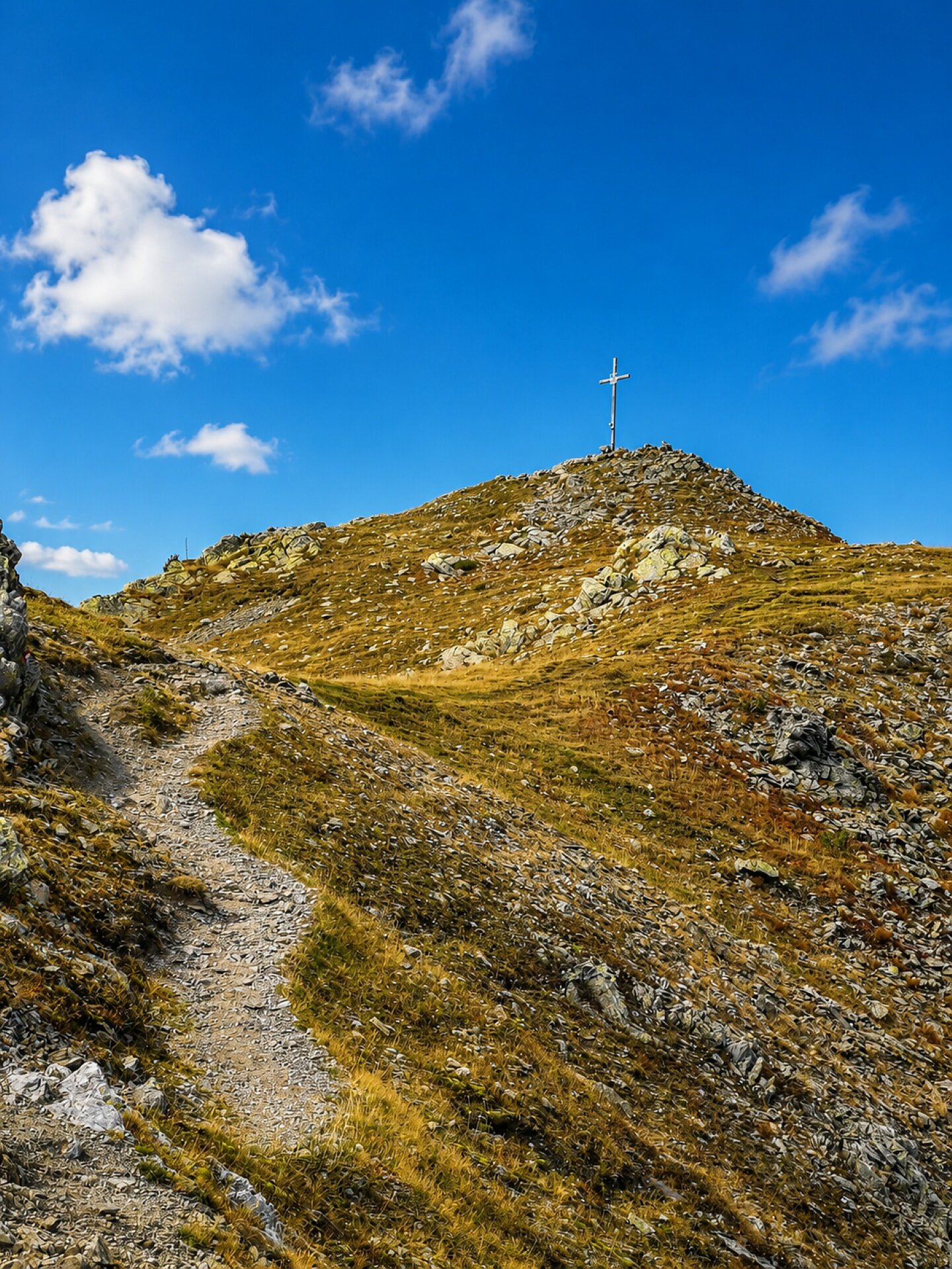
With its spectacular 360-degree panorama, the Plattner Spitz is one of the most beautiful 2,000-metre peaks in the Puster Valley low mountain range.
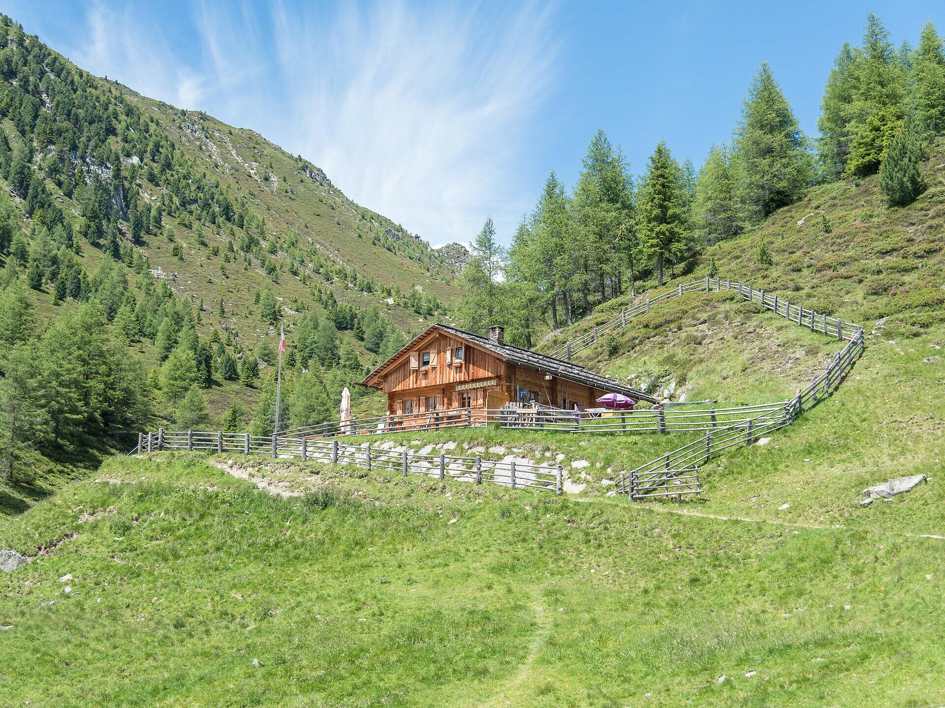
A moderately difficult hike from the hamlet of Platten near Pfalzen, via the alp hut Plattner Alm surrounded by meadows, to the mountain cross of Plattner Spitz – a beautiful summit offering panoramic views on the edge of the Pfunderer mountain range, with views of the Zillertal main ridge, the Rieserferner Group, the Puster Valley and the Dolomites. The combination of peaceful woodland sections, open alpine pastures, small mountain lakes and sweeping summit views makes this moderate mountain hike a particularly varied mountain experience.
The alpu hut Plattner Alm is open from may to october. Please checkt the exact opening days and times before settin off on your hike.
Starting point
Parking lot Platten
Directions
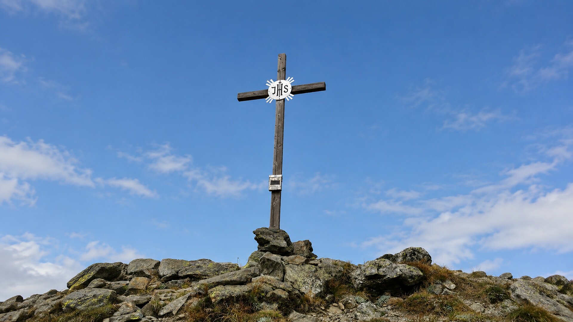
The starting point for the hike is the hamlet of Platten (1,600 m) near Pfalzen. First, follow the consistently well-marked trail 67 along a wide forest track, partly flat and partly slightly uphill through the woods, to the alp hut Plattner Alm (1,940 m). You then hike up through slightly steeper alpine terrain to the small Plattner Lakes, continuing to the east of the summit, and in a few minutes, via a well-maintained path along the ridge heading west, you reach the simple yet elegant summit cross (2,435 m). The descent follows the same route. Alternative for experienced and sure-footed walkers: follow the red-and-white dot markings (Pfunderer Höhenweg) over a small connecting ridge to the nearby hilltop adorned with a cross, then ascend via the north ridge – secured with ropes in places and requiring a head for heights – to the summit of the Sambock. From here, path 66A leads down to the ‘Platte’ and back to the starting point of the hike.
public transportation
The mountain hamlet of Platten cannot be reached by public transport. Take bus route 421 or 422 from Bruneck bus station to Pfalzen, getting off at the Rathaus stop, from where you can walk to Platten following trail markers 18 and 19 (approx. 1.5 hours).
How to get there
From Bruneck, follow the SP40 towards Pfalzen (about 5 km). At the roundabout, turn right onto Michael Pacher Straße and then right onto Sichelburgstraße. After about 400 m, at the junction, turn left onto Plattner Straße and follow it for about 8 km to the car park in Platten (1,600 m), where the hike begins.
Where to park
Small free parking lot in Platten.
Solid hiking shoes with good tread, breathable and weather-appropriate clothing, and, if needed, hiking poles to help with ascents and descents. Make sure your rucksack also contains sun and rain protection, enough fluids and a snack.