Top

Hiking tour to Astjoch

Bruneck and surroundings
Add to favourites
Difficulty
Intermediate
Duration
3:40
in hours
Distance
9
in km
Status
open
Categories
  • Mountain tour
Tags
  • Round trip
Suggested period
Jan
Feb
Mar
Apr
May
Jun
Jul
Aug
Sep
Oct
Nov
Dec
A scenic circular hike with magnificent summit views.

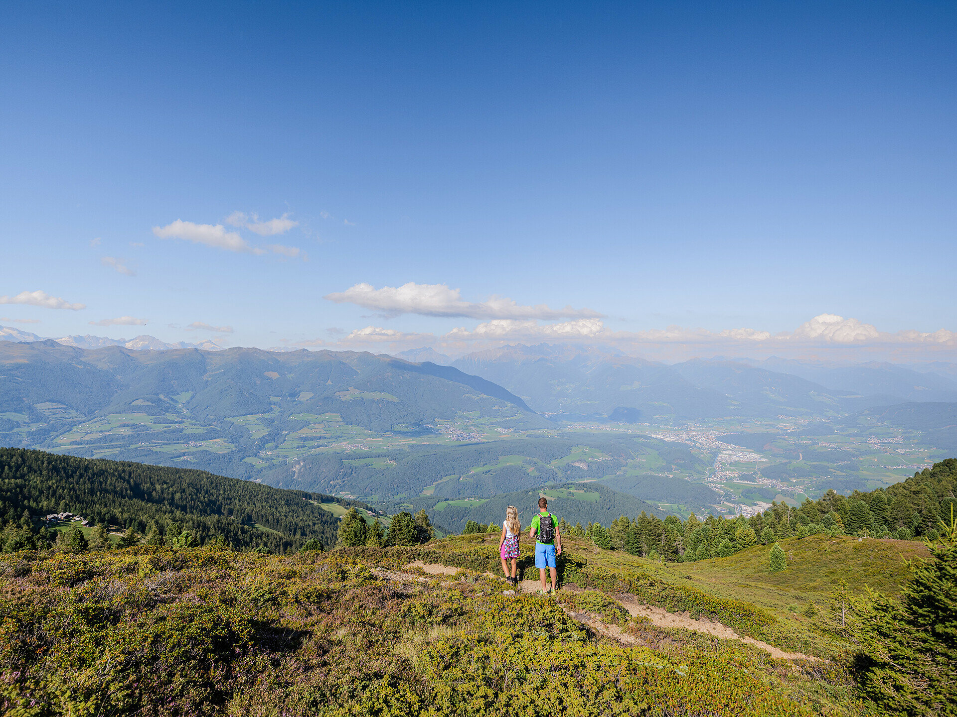
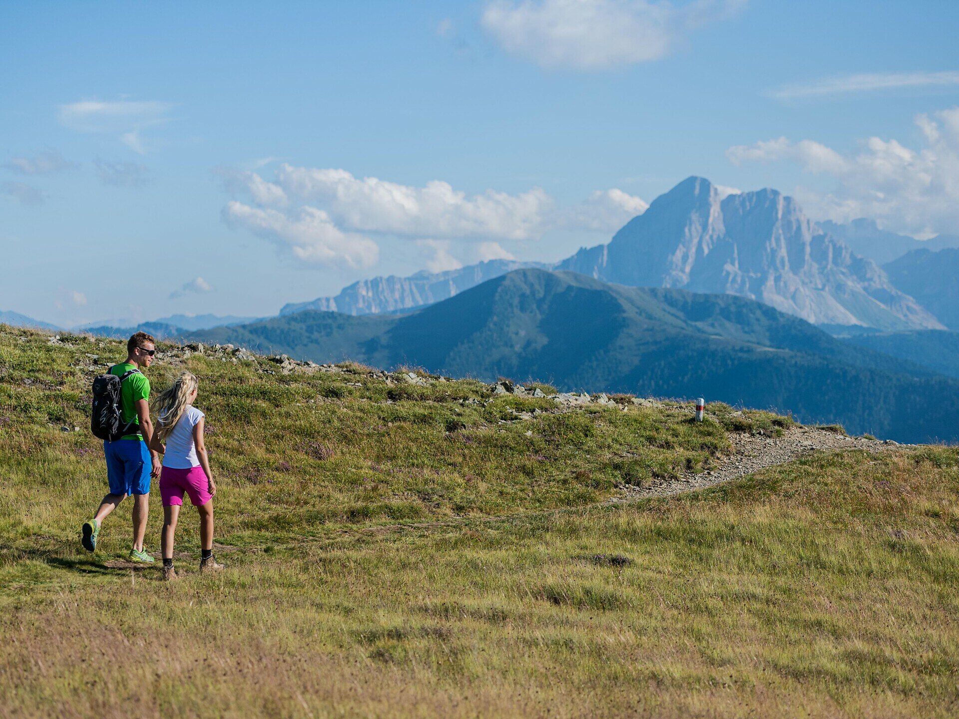
The Astjoch, also known as Burgstall, stands at 2,190 metres and is one of the highest and most beautiful peaks in the Rodenecker and Lüsner Alm. The walk starts in Ellen near St. Lorenzen and leads through the vast, idyllic alpine and mountain landscape up to this popular vantage point. Even during the ascent, impressive views of the surrounding mountains and valleys reveal themselves repeatedly.

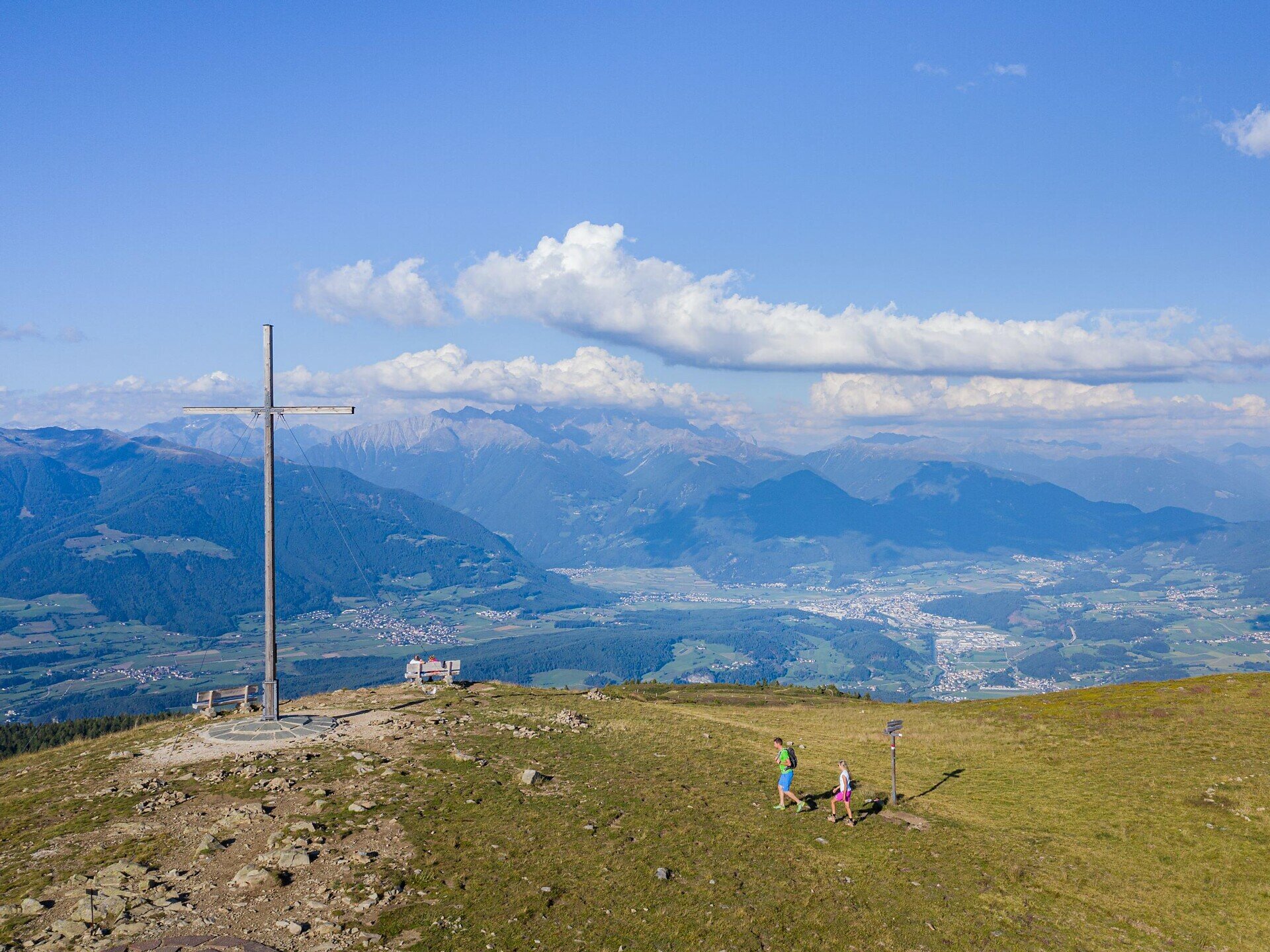
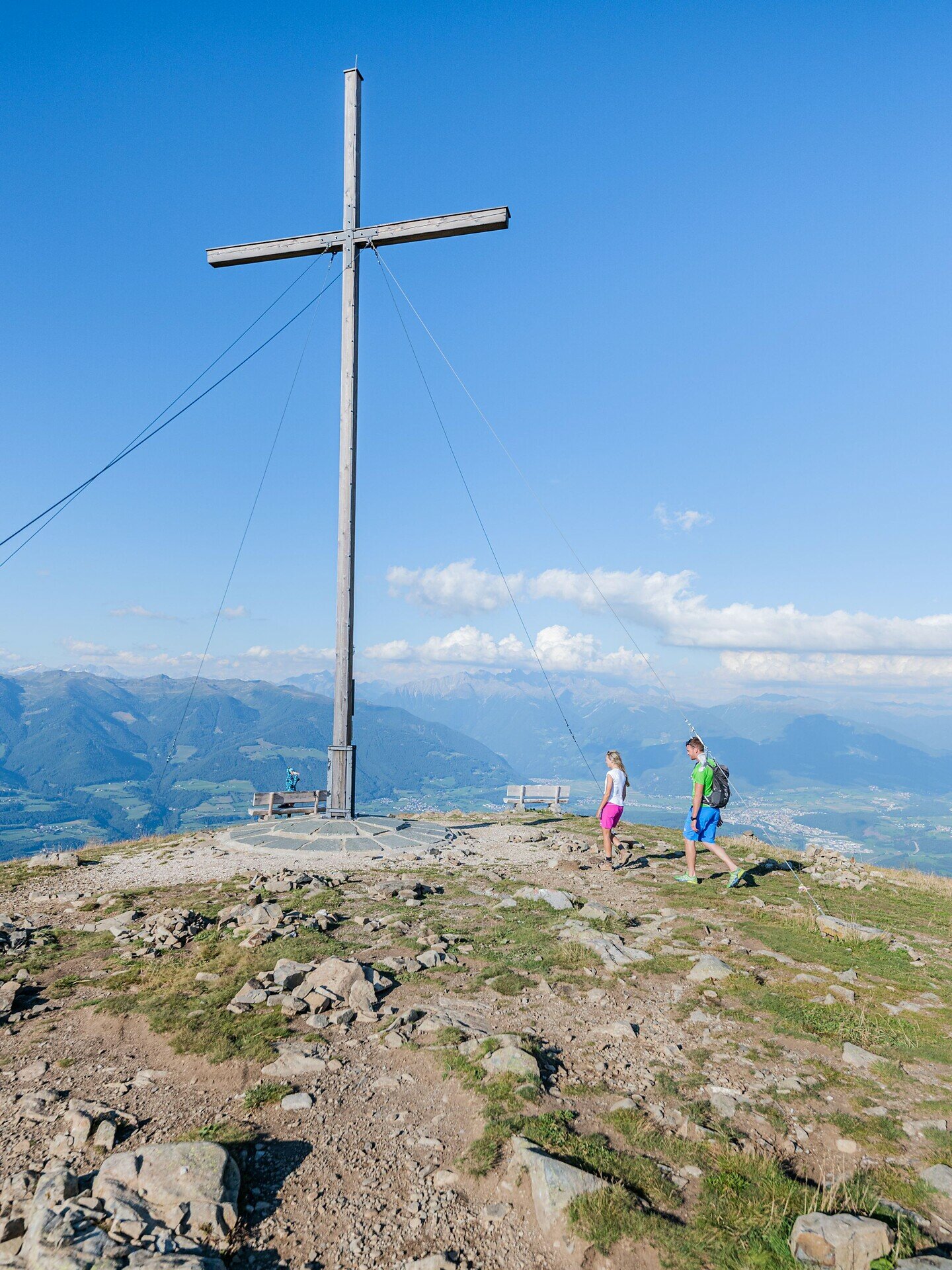
Once you reach the summit, a truly special panorama awaits: the view stretches far across the Puster Valley and the surrounding South Tyrolean mountain landscapes, all the way to the striking peaks of the Dolomites and the Zillertal Alps. On a clear day, an impressive mountain backdrop unfolds in every direction. The huge wooden cross on the Astjoch, visible from afar, marks the summit even from a distance and makes it an unmistakable destination for the hike.

The route combines varied natural scenery, alpine landscapes and a memorable summit experience. Whether as a leisurely day trip or a sporting challenge – the trail to the Astjoch rewards the climb with one of the most beautiful panoramic views in the region. A rewarding hiking destination for anyone who wishes to enjoy the tranquillity and vastness of the South Tyrolean mountains whilst taking in a breathtaking panorama.
Gallery
Categories
  • Mountain tour
Tags
  • Round trip
Route data
Intermediate
Distance
9,0 km
Duration
3 h 40 min
Ascent
685 m
Decent
675 m
Physical condition
Scenary
Highest point
2.191 m
Lowest point
1.548 m
Suggestions
The bus 424 from St. Lorenzen to Elle has 15 seats. You can load the stroller on board in the designated area at the back of the vehicle.
You might be interested in
Discover related tours
Bruneck and surroundings
Alpine tour on the summit “Bloßberg” in Uttenheim/Villa Ottone
Distance 6,6 km
Duration 4 h 50 min
Ascent 1.731 m
Decent 1 m
Status
open
Rodenecker Alm | © Herbmedia, Kiens
Intermediate
Add to favourites
Bruneck and surroundings
Hike from Ellen to the Rodenecker-Lüsner Alm
Distance 11,2 km
Duration 4 h 30 min
Ascent 720 m
Decent 720 m
Status
open
Bruneck and surroundings
Alpine tour on the summit of the „Große Windschar”
Distance 8,6 km
Duration 7 h 30 min
Ascent 1.430 m
Decent 1.430 m
Status
open
Bruneck and surroundings
Hiking tour to the summit of the “Geige” in Tesselberg/Montassilone
Distance 7,3 km
Duration 3 h 20 min
Ascent 810 m
Decent 810 m
Status
open
Lake di Plata | © Kiens
Intermediate
Add to favourites
Bruneck and surroundings
Alpine Circular Hike on the Pfunderer Höhenweg in Platten.
Distance 10,8 km
Duration 4 h 45 min
Ascent 878 m
Decent 836 m
Status
open
Monte Nalle | © Anna Notdurfter, Tourismusgenossenschaft Antholzertal
Intermediate
Add to favourites
Bruneck and surroundings
Hochnall peak 2.231m
Distance 5,0 km
Duration 3 h 30 min
Ascent 1.145 m
Decent 10 m
Status
open